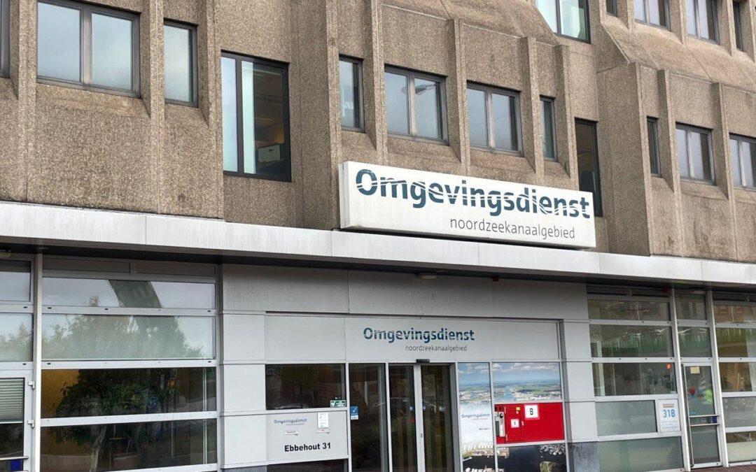
Bodemrapportages worden gegenereerd door het Bodem Informatie Systeem van een omgevingsdienst (of gemeente). Een bodemrapportage laat alle bodeminformatie zien van het geselecteerde perceel met een straal van 25 meter daaromheen.
De bodemrapportages zijn helaas vaak een onleesbaar dik rapport met een overschot aan informatie van veel verschillende locaties rondom het geselecteerde adres.
Waar het o.a. fout gaat is het volgende. Vaak is een naastgelegen perceel een heel groot perceel. Deze zijn heel groot omdat dit vaak wegen zijn en andere gemeentelijke percelen. Deze strekken veel verder dan 25 meter om het perceel waar jij de bodeminformatie van wilt hebben. Toch geeft het gegenereerde bodemrapport alle informatie weer over alle percelen die binnen de straal van 25 meter vallen. Als een perceel een paar honderd meter lang is, dan wordt al die informatie ook meegenomen in het bodemrapport. Daardoor staan er vaak allemaal adressen of locaties in een bodemrapport die helemaal niet relevant voor jou zijn en het een onleesbaar dik rapport maken. En van de informatie over de bodem die wel zich in daadwerkelijk in een straal van 25 meter om het geselecteerde perceel bevindt, is het heel erg onoverzichtelijk om de informatie te kunnen plaatsen waar het thuishoort.
Ook zitten de documenten (bodemonderzoeken, saneringsevaluaties, etc.) die relevant zijn vaak niet via een download knop in het bodemrapport en moeten deze handmatig worden opgevraagd.
Kan bodeminformatie niet makkelijk ingezien worden?
De omgevingsdiensten of gemeentes zelf kunnen echter veel overzichtelijker en uitgebreider bodeminformatie terugzien bij een bepaald perceel. Dit doen ze letterlijk met 1 druk op de knop. Via een super overzichtelijk kaartje kan men in het BIS verder klikken en ook direct alle uitgevoerde bodemrapporten en saneringsevaluaties inzien en downloaden met 1 druk op de knop.
De bodemrapportages welke dus gegenereerd worden door datzelfde Bodem Informatie Systeem zijn 1 grote onoverzichtelijke chaos van alle informatie door elkaar. Het zou daarom veel handiger zijn als makelaars en woningzoekers zelf ook toegang zouden hebben tot een vereenvoudigd bodem informatiesysteem om zo in 1 oogopslag de relevante informatie te kunnen zien over een perceel in plaats van een dik onoverzichtelijk bodemrapport.
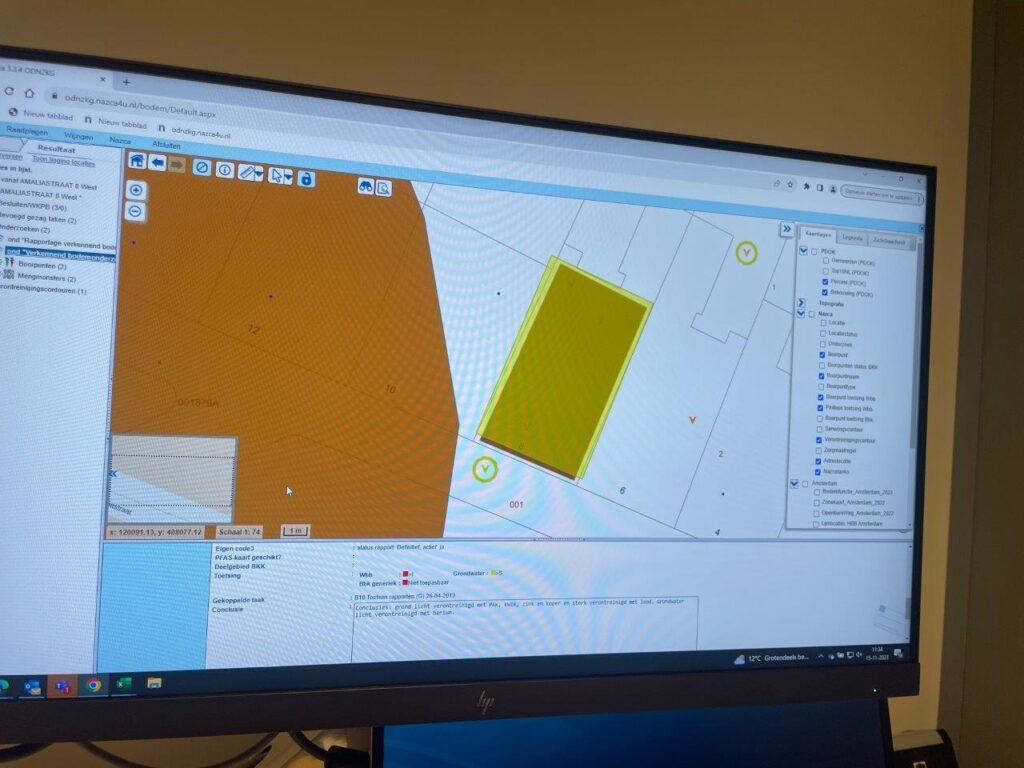
Zo ziet het bodeminformatiesysteem van een Omgevingsdienst, Gemeente of Milieukundig advies- en onderzoeksbureau er uit.
Advies van milieukundig advies- en onderzoeksbureau
Zit jij met een kwestie op een stuk grond. Bijvoorbeeld, wil je zeker weten of de grond schoon is en wil je een historisch óf een verkennend bodemonderzoek laten doen? Of heb je advies nodig bij het lezen van een bodemrapport? Vraag dan een milieukundig onderzoeksbureau om een advies op afstand óf om een verkennend bodemonderzoek te doen op locatie. Als landelijk opererend makelaarskantoor hebben wij diverse goede milieukundige onderhoudsbureaus in heel Nederland zitten waar wij mee samenwerken. Wil je in contact komen met één van deze adviesbedrijven bij jou in de buurt, vul dan even dit formulier in en wij brengen je met hen in contact (gratis service van ons).